To The Island School and CEI family and friends,
Thank you for staying in close touch with us. We very much appreciate your concern and will continue to do our best to keep everyone updated.
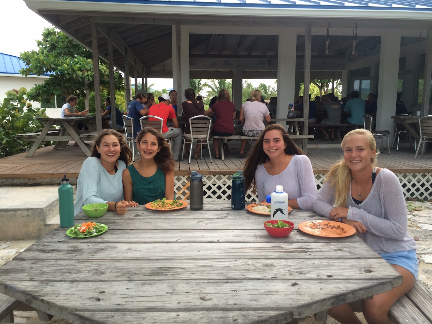
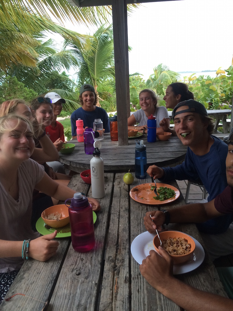
Last night we had a beautiful sky and brisk breeze. We have 104 students, employees, volunteers and interns, and visitors in our direct care on campus and in Deep Creek. We are focused on their safety, and everyone is ok, and has a designated place to be for the weather later this afternoon.
In terms of property protection, wind and storm surge are the primary concerns we are monitoring. The information we have right now supports our preparations and precautions taken, but also gives reason to believe that the worst effects of the storm may not be taken out on our particular location.
This NOAA probability map shows campus being exposed to 74mph sustained winds (hurricane force) only within the 5% probability in the next 5 days. Which reinforces the efforts of our staff to prepare thoroughly in the case (1 in 20 chance or so) of that happening.
We are monitoring highest tides and expecting weather to increase this afternoon. Our main source of updated forecasts for this track and intensity of the storm is through the link here; the most recent forecasts do not have the center of the storm passing over Eleuthera.
NOAA modeling on likely storm surge effects provided by Weather Underground is here and, according to this, we may have storm surge of 3 to 6 feet maximum surge at high tide.
These surge levels, low compared to many other places in the Bahamas, would not infiltrate our living spaces or damage infrastructure. We don’t take the need for precaution less seriously based on these predictions or models, but they again give context to the overwrought hype on TV, or reports from other parts of north Eleuthera on the western side of the island where storm surge is modeled under the same conditions to reach over 15 feet based on the local topography and bathymetry.
Thank you all for the support and positive energy you’re sending our way and, as always, feel free to reach out with any particular questions or concerns.